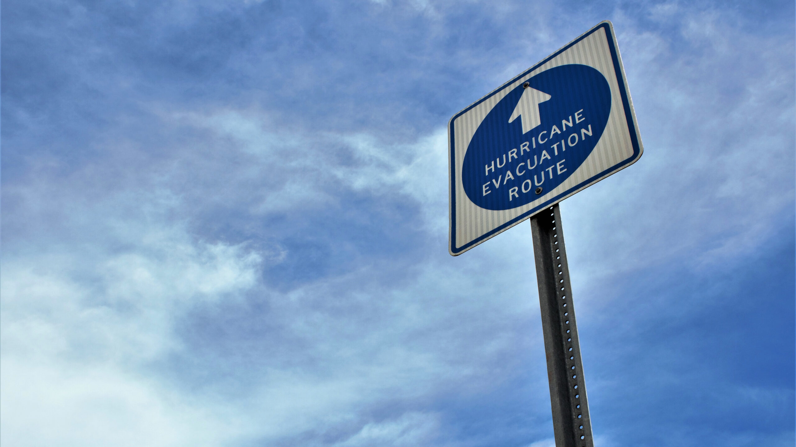
The effects of Hurricane Helene in the Southeastern US and resources for planners.
Late Thursday night, Hurricane Helene made landfall in Florida’s Big Bend region as a Category 4 hurricane. It continued to move northward and stalled over the Tennessee Valley through the weekend, according to the National Hurricane Center (NHC).
Prior to its landfall in Florida, Hurricane Helene became a tropical storm in the western Caribbean Sea on Tuesday and caused flooding in the Cayman Islands and heavy rainfall over western Cuba and the northeast Yucatán Peninsula.
As of Friday morning, over 4 million homes and businesses were without power in Florida, Georgia and the Carolinas. Large regions of the southeast, including Florida, Georgia and South Carolina, are still experiencing widespread power outages and flooding.
Friday morning, President Biden approved emergency declaration requests from the governors of Florida, Georgia, Alabama, North Carolina and South Carolina, who will receive a variety of federal assistance.
Following the weekend, the death toll has reached 107, with dozens of people still missing. Members of the National Guard and relief teams from 19 states are now part of search and rescue missions in North Carolina.
Following the Storm
Here’s what you need to know about the effects of Hurricane Helene in the affected regions.
Florida
Hurricane Helene caused major damage upon its landfall in Florida with maximum sustained winds of 140 miles per hour, leaving residents in Taylor and Madison counties without power within an hour and a half of its arrival, according to a USA TODAY power outage tracker.
Multiple counties throughout Florida, including Charlotte, Gadsden, Hillsborough, Sarasota and more, reported extensive damage, with downed power lines and severe flooding. According to CNN Weather, it was the strongest hurricane on record that Florida’s Big Bend region has faced.
Airports in Florida, including those in the cities of Tampa, St. Petersburg, Lakeland and Tallahassee, closed, then reopen later on Friday, Sept. 27. Orlando International Airport saw 77 flight cancellations as of Friday morning, according to FlightAware.
A warning of storm surges—the level at which sea water rises above its normal level—up to 10 feet remained in place across Florida’s west coast, from Tampa Bay to Indian Pass, through Saturday.
Georgia and North Carolina
Hurricane Helene next moved into Georgia as a Category 1 hurricane with maximum sustained winds of 80 miles per hour as of 3 a.m. ET.
Airports in Atlanta and Charlotte, North Carolina saw large numbers of flight cancellations and delays. Hartsfield-Jackson Atlanta International Airport saw over 130 cancellations and 180 delays.
Catastrophic flooding in Georgia led to evacuations and rescues by emergency officials. Georgia Governor Brian Kemp reported on Friday that there had been at least 11 deaths throughout the state and issued a state of emergency and authorized 1,000 Georgia Guardsmen to help with recovery efforts and cleaning of debris.
As of 11am ET on Friday morning, the storm was about 30 miles southwest of Bryson City, North Carolina and maximum sustained winds stood at about 45 miles per hour. North Carolina Governor Roy Cooper stated that Helene “is one of the worst storms in modern history.”
Asheville faced severe flooding and damage to its water systems. Extreme flooding across North Carolina led to the closure of hundreds of roads and left thousands of people are in shelters and homes and bridges were swept away in the storm.
AP News reported that Hurricane Helene was the deadliest storm to hit North Carolina since Hurricane Hugo in 1989.
Tennessee and Kentucky
Over the weekend, Hurricane Helene turned in the northwest direction and lulled over Tennessee Valley. Eastern Tennessee also saw severe flooding. Bridges and homes washed away, and much of East Tennessee remains without power. In Kentucky, thousands more are left without power. The state faced strong winds and heavy rainfall, but most regions escaped serious floods due to dry weather prior to the storm.
What’s Next?
Across the affected states, residents, local police and fire departments, volunteers and those deployed by the federal government continue to assess the aftermath. As they repair the storm’s damage, search for missing persons, provide shelter, food and water for those in need, more information about the full scale of the damage will continue to surface.
For now, if you’re working with hotels, CVBS or suppliers in any of the affected areas, you can show your support to them by checking in and handling longer response times with patience and grace as they assess the storm’s effects on their businesses.
Smart Meetings offers resources on contingency planning to ensure safe and successful events in the face of unprecedented scenarios such as storms like Hurricane Helene and a range of other barriers that could cause event disruptions
Your Top Resources
- FlightAware for flight tracking and updates on cancellations and delays.
- National Hurricane Center for live updates on Hurricane Helene’s path and force.
- USA TODAY Power Outage Tracker for live updates on power outages across counties.
How to Help
- Search Foundation to donate for planners seeking assistance.
- Salvation Army,t for emergency aid, food and supplies.
- American Red Cross to help with reunification efforts and sending disaster workers.
- Americares for emergency medical relief.
- GlobalGiving Fund for food, fuel, clean water, hygiene products and shelter.
Read More:
- Contingency Plans Save the Day for Events, Again and Again
- How Meeting Planners Can Pre-Plan for Event Crisis Management
- Four Crucial Questions to Ask When Developing an Effective Contingency Plan for Events
- 4 Contingency Planning Scenarios You Need to Prepare For Today
- Storm Disruption Continency Planning


